Lot 79
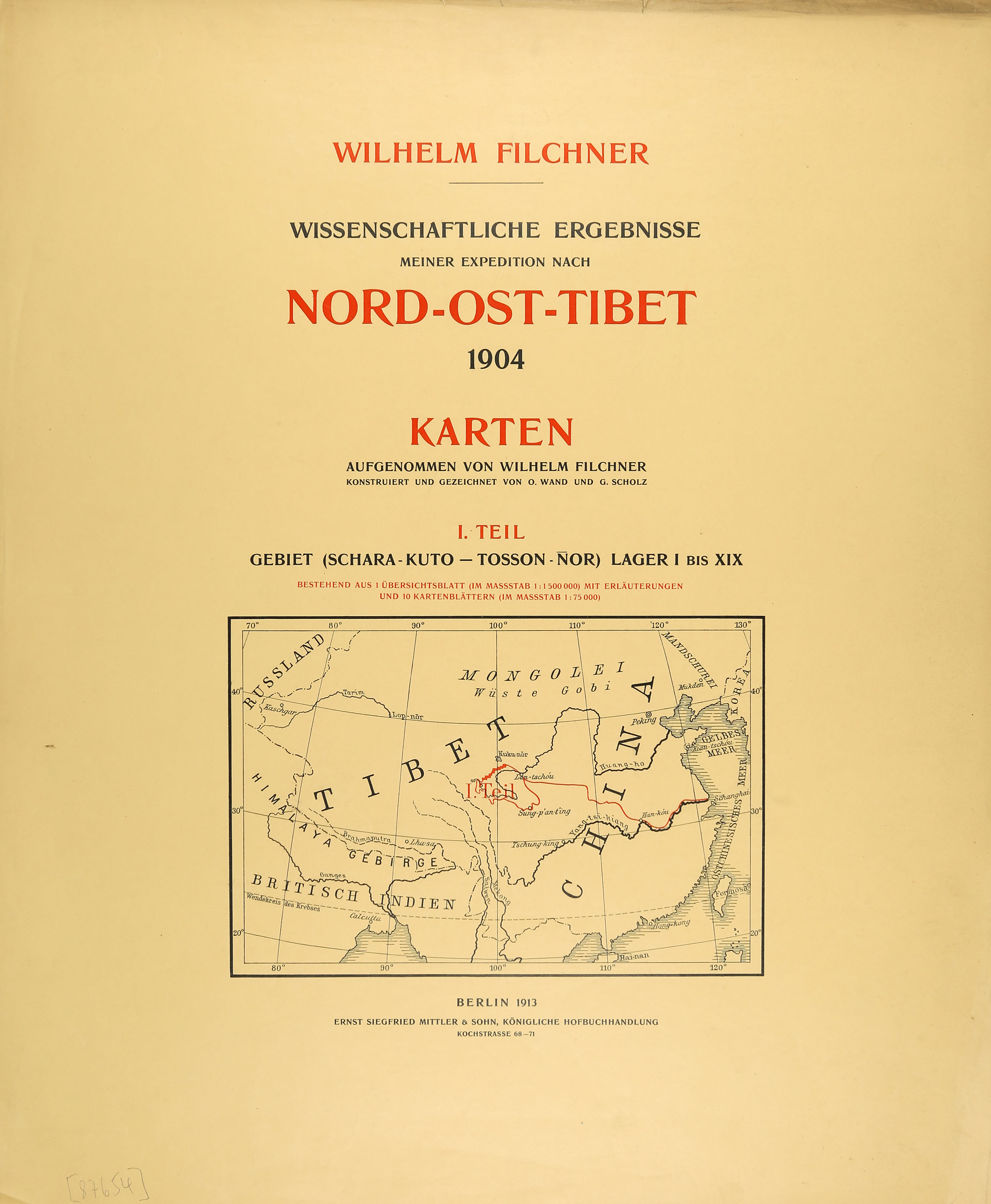
W. Filchner, Wissenschaftliche Ergebnisse meiner Expedition nach Nord-Ost-Tibet. Karten. Parts I-IV. Berlin 1913. / China. Karten. Part I. Berlin 1904.
Estimate
€ 600
Starting Price
€ 400
Hammer Price
€ 400
Lot:
79
Category:
Geography and work of views
Author:
Wilhelm Filchner
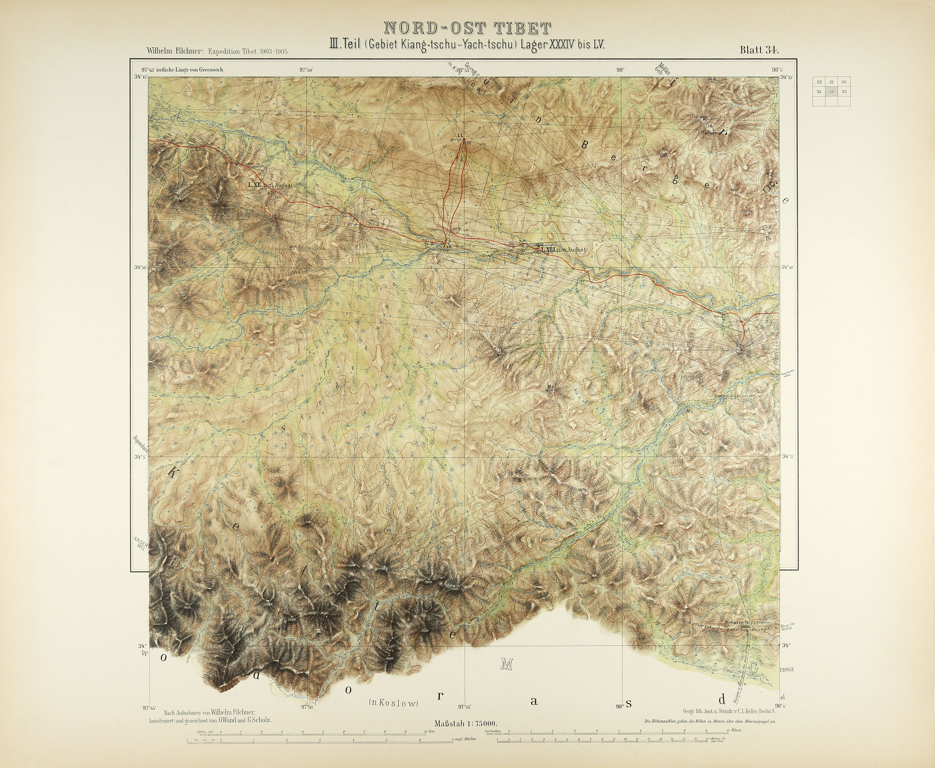
Filchner, Wilhelm: Wissenschaftliche Ergebnisse meiner Expedition nach Nord-Ost-Tibet 1904. Karten. Teile I-IV. Berlin: Mittler 1913. / Wissenschaftliche Ergebnisse meiner Expedition nach China 1904. Karten. I. part (of II). Han-Kiang (Han-K’Óu-Hing An-Fu). Berlin: Mittler 1910. 63 x 50.5 cm (title pages and individual plates vary slightly). With 1 (of 2?) title pages, 4 instalment titles and 76 (of 77) mostly coloured maps and sketch plates. Paperback folder with a mounted title and contents page on the covers, as well as 2 (of 4) fastening straps.
(Worn and battered. Two fastening straps are broken or missing. Some pages are slightly dusty and creased at the edges; one overview map has damage to the edges. Page edges are browned. Map No. 10 from the ‘North-East Tibet’ atlas is missing.)
Cartographic documentation of Wilhelm Filchner’s 1904 expedition to North-East Tibet and China. The large-format maps and sketch plates, many of which are printed in colour, provide a striking picture of the landscapes explored and surveyed by Filchner, whilst also documenting the high scientific and cartographic standards of his expedition. - Contains: North-East Tibet (with 45 of 46 maps) and Han-Kiang (30 maps). A separate volume entitled ‘Ts’In Ling’ was also published as part of the China expedition.
(Worn and battered. Two fastening straps are broken or missing. Some pages are slightly dusty and creased at the edges; one overview map has damage to the edges. Page edges are browned. Map No. 10 from the ‘North-East Tibet’ atlas is missing.)
Cartographic documentation of Wilhelm Filchner’s 1904 expedition to North-East Tibet and China. The large-format maps and sketch plates, many of which are printed in colour, provide a striking picture of the landscapes explored and surveyed by Filchner, whilst also documenting the high scientific and cartographic standards of his expedition. - Contains: North-East Tibet (with 45 of 46 maps) and Han-Kiang (30 maps). A separate volume entitled ‘Ts’In Ling’ was also published as part of the China expedition.