Lot 275
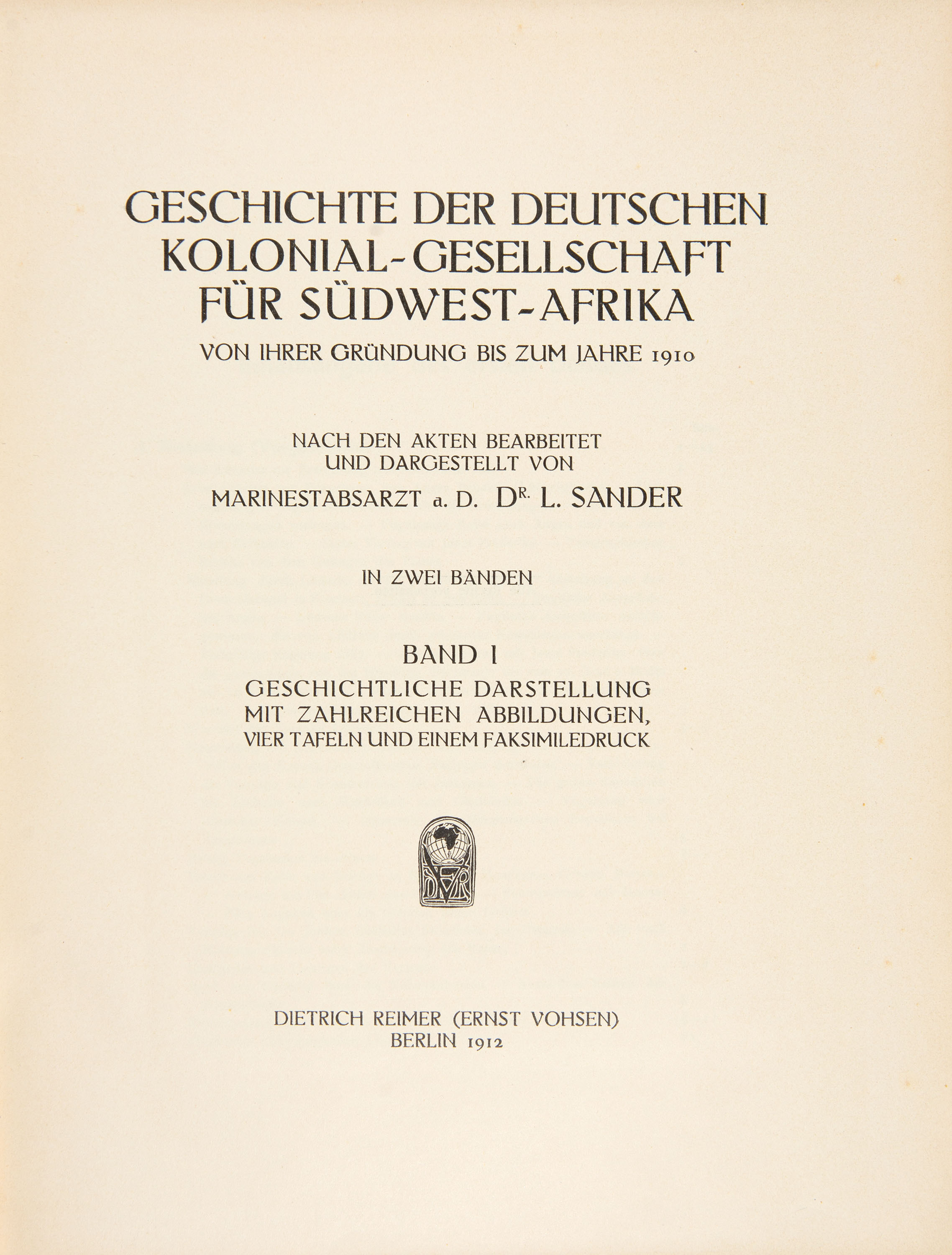
L. Sander, Geschichte der deutschen Kolonial-Gesellschaft für Südwest-Afrika. 2 Vol. Berlin 1912.
Estimate
€ 200
Starting Price
€ 100
Hammer Price
€ 100
Lot:
275
Category:
Geography and work of views
Author:
L(udwig) Sander
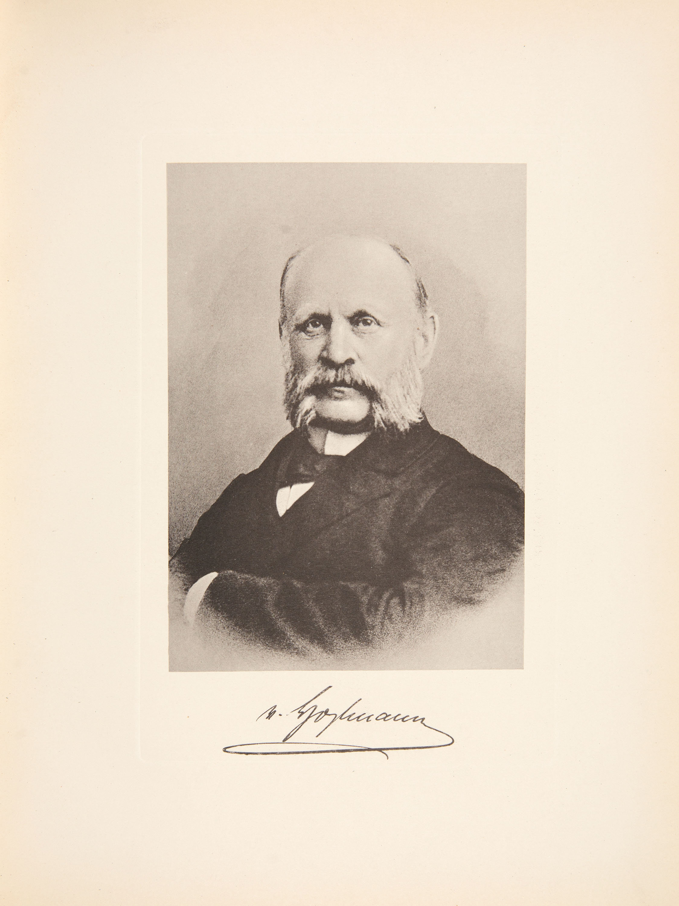
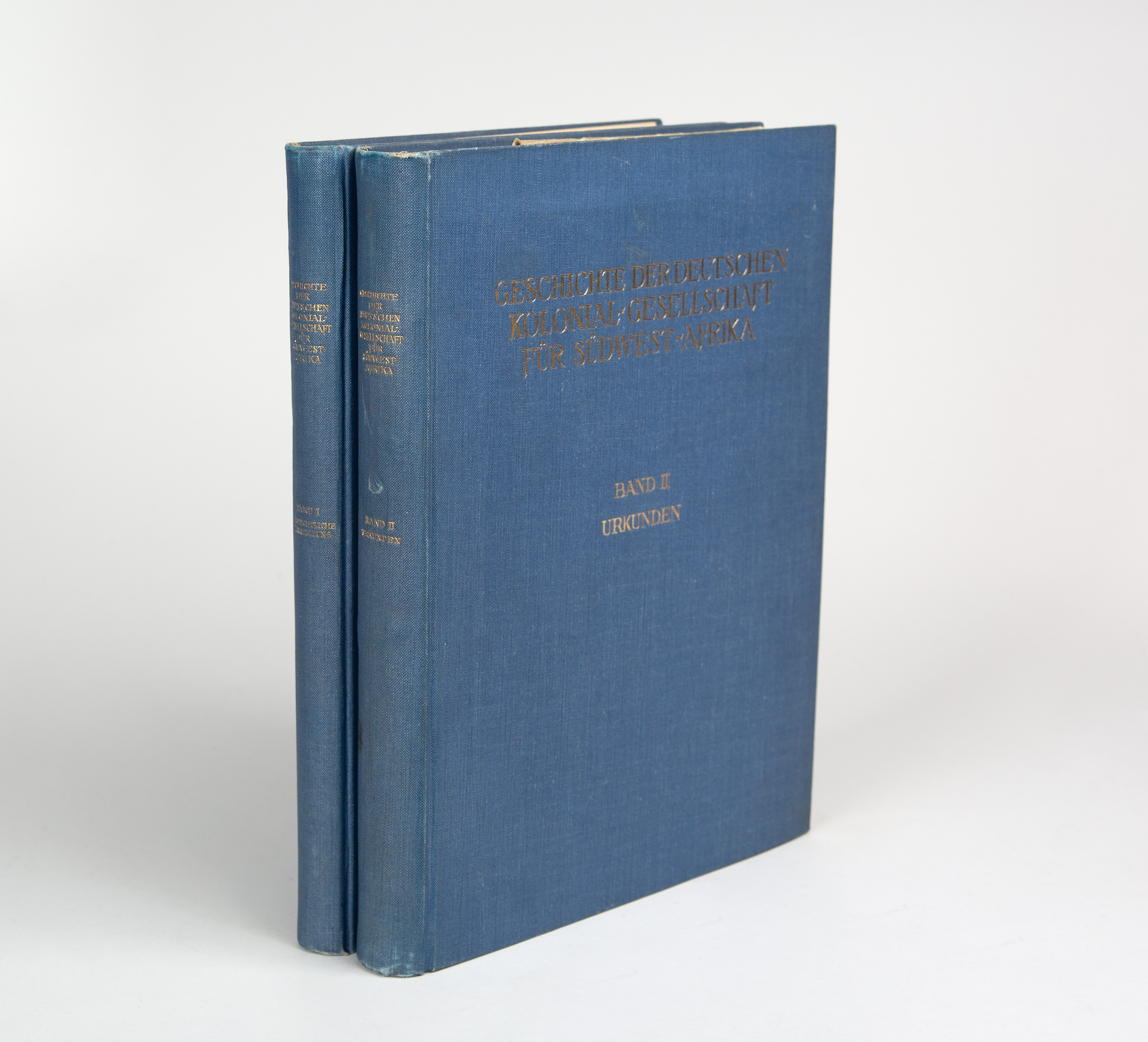
Sander, L(udwig): Geschichte der deutschen Kolonial-Gesellschaft für Südwest-Afrika von ihrer Gründung bis zum Jahre 1910. 2 Vol. Berlin: Reimer 1912. 26,3 x 20 cm. Includes 4 portraits based on photographs (one of which is the frontispiece), 2 fold-out maps (some in colour), 5 fold-out plans and 6 leaves of a facsimile letter. XXXIX, 315 pp., 1 leaf; 2 leaves, 476 pp., 1 leaf. Original linen binding with gold-stamped title labels on the front cover and spine.
(Worn, slightly bumped, with some dust stains; spine slightly stained. Both volumes bear a handwritten owner’s note on the flyleaf. In Vol. 1, one leaf is partially detached from the binding; two staples have come loose. Edges browned. Some leaves in Vol. 2 show slight crease marks.)
Kainbacher 403. Dt. Kolonial-Lex. III, S. 248. - First edition. - A standard work on the history of the German colony of South-West Africa, now Namibia. - The author was a naval medical officer and, from 1904 to 1910, secretary of the German Colonial Society. - Contains the following maps and plans: 1) Francois’ map relating to the land exchange and boundary demarcation treaty of 7 May 1895. 2) Sketch I relating to the treaty of 29 June 1903 concerning the demarcation of the Society’s land holdings in the Windhoek area. 3) Sketch 2 relating to the treaty of 29 June 1903. 4) Map of land holdings and mining rights in German South-West Africa. 5) Plan showing the extent of the land claimed by the government in the expropriation proceedings at Roberthafen in Lüderitz Bay. 6) Plan of Swakopmund showing the plots of land ceded free of charge to the Treasury and to the municipality. 7) Plan of Lüderitz Bay.
(Worn, slightly bumped, with some dust stains; spine slightly stained. Both volumes bear a handwritten owner’s note on the flyleaf. In Vol. 1, one leaf is partially detached from the binding; two staples have come loose. Edges browned. Some leaves in Vol. 2 show slight crease marks.)
Kainbacher 403. Dt. Kolonial-Lex. III, S. 248. - First edition. - A standard work on the history of the German colony of South-West Africa, now Namibia. - The author was a naval medical officer and, from 1904 to 1910, secretary of the German Colonial Society. - Contains the following maps and plans: 1) Francois’ map relating to the land exchange and boundary demarcation treaty of 7 May 1895. 2) Sketch I relating to the treaty of 29 June 1903 concerning the demarcation of the Society’s land holdings in the Windhoek area. 3) Sketch 2 relating to the treaty of 29 June 1903. 4) Map of land holdings and mining rights in German South-West Africa. 5) Plan showing the extent of the land claimed by the government in the expropriation proceedings at Roberthafen in Lüderitz Bay. 6) Plan of Swakopmund showing the plots of land ceded free of charge to the Treasury and to the municipality. 7) Plan of Lüderitz Bay.