Lot 538
M. Zeiller, Topographiae Galliae. Tle. 2-4 in 1 Bd. Frankfurt 1656.
Estimate
€ 300
Starting Price
€ 200
Hammer Price
€ 300
Lot:
538
Category:
Geography and work of views
Author:
Martin Zeiller
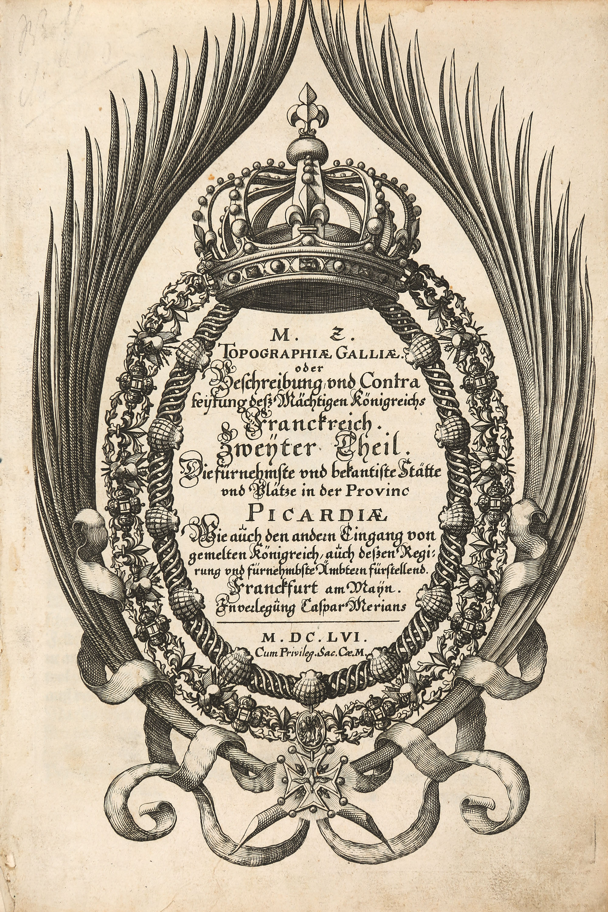
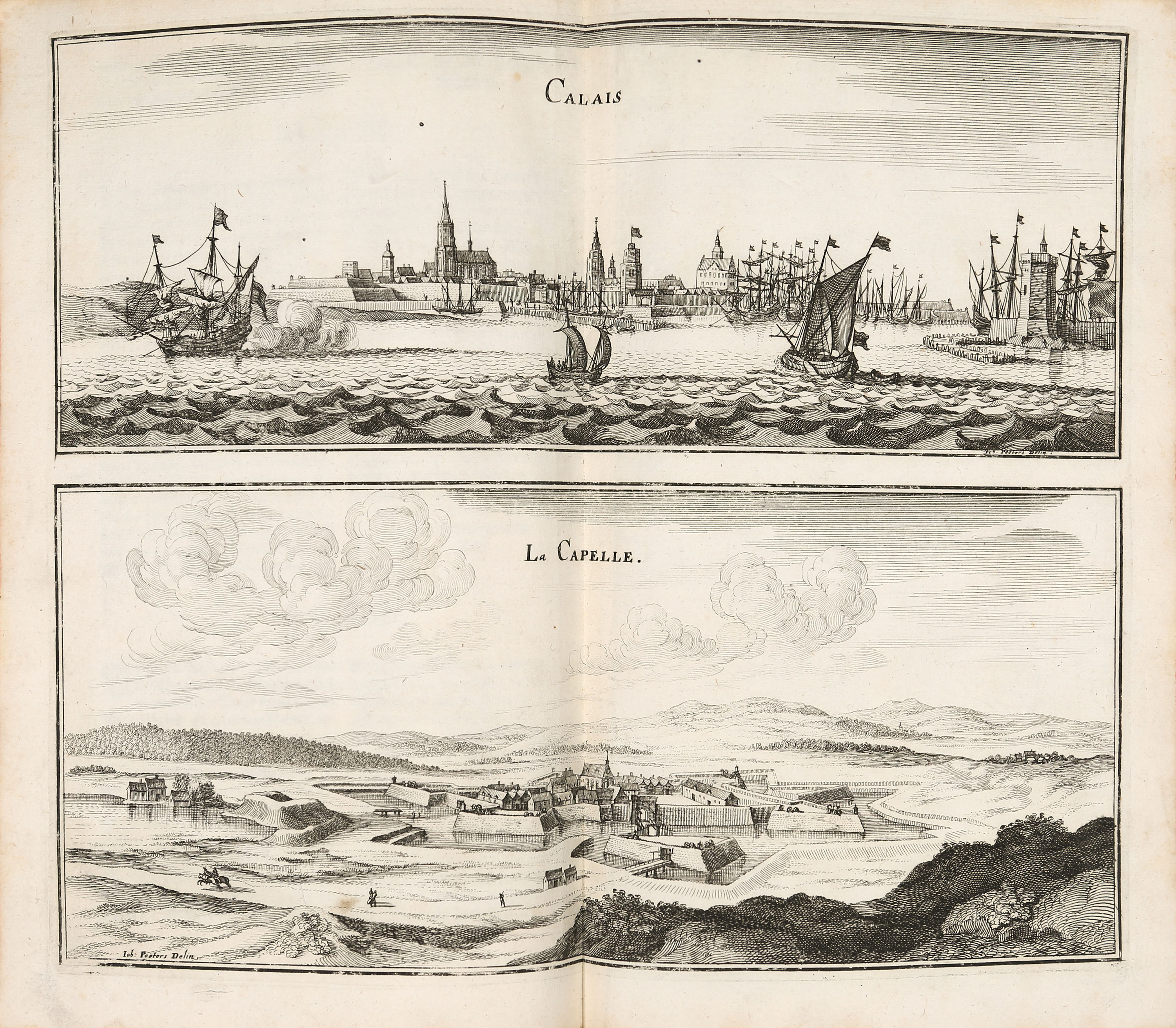
Zeiller, Martin: Topographiae Galliae. Oder Beschreibung und Contrafeytung deß Mächtigen Königreichs Franckreich. Teile 2, 3 und 4 (von 13) in 1 Bd. Frankfurt a. M.: Caspar Merian 1656. 29 x 19,5 cm. With 3 engraved titles, 3 engraved maps and 106 engraved plates. 2 leaves, pp. 3–35, 1 unnumbered page, 1 leaf + 2 leaves, pp. 3–38, 2 leaves + 2 leaves, pp. 3–25, 1 unnumbered page, 1 leaf. Paper back.
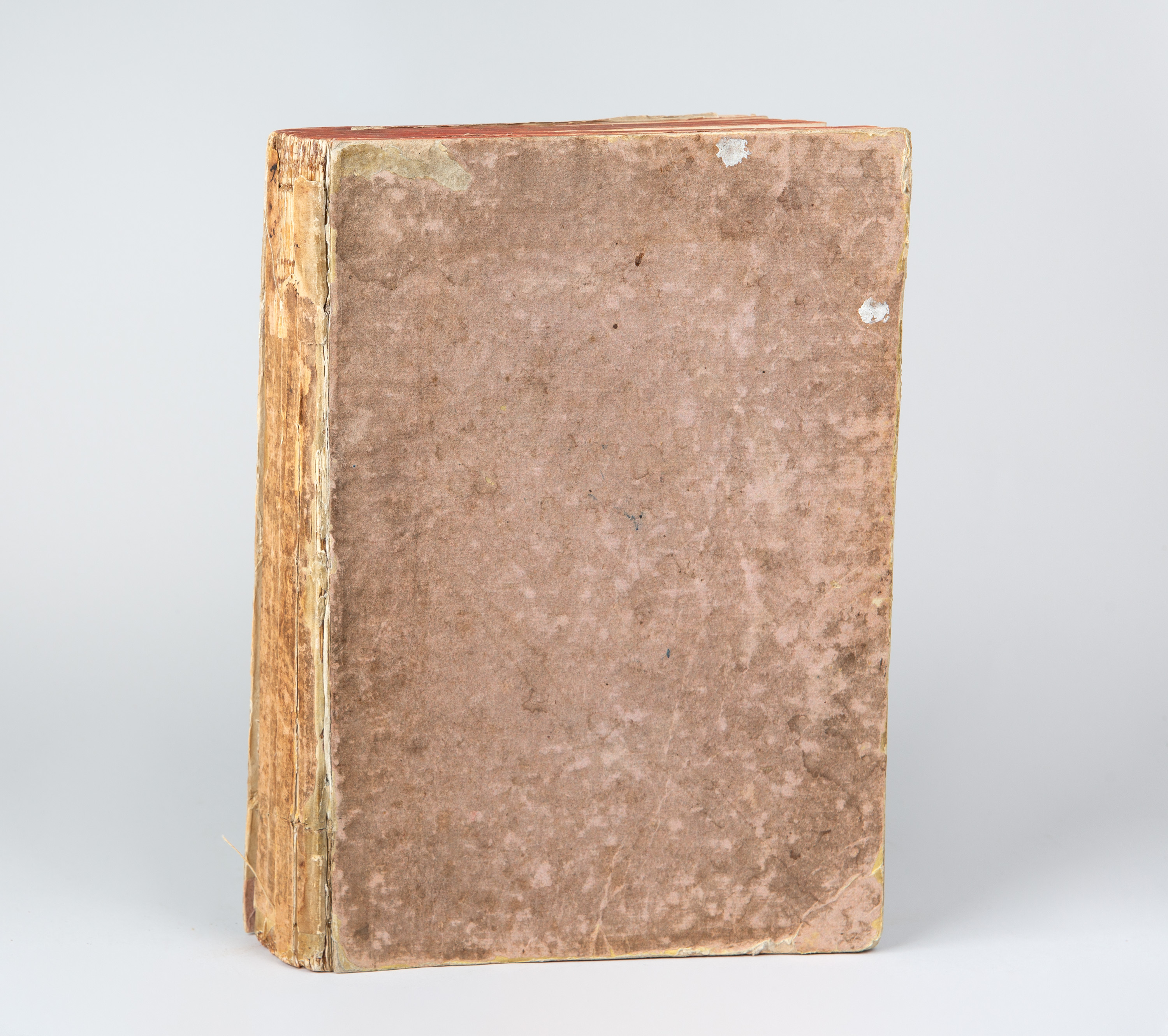
(Worn, bumped and stained. Back cover loose. The paper-covered spine is brittle and has missing sections. The book block is broken; two sheets have come loose from the binding, which is loose. The majority of the pages have water stains on the top and outer margins. Slightly browned, with minimal age and mould stains in places. The title of the second part bears the stamp of the Ulm Reading Society on the reverse.)
Wüthrich IV, 71 (Vol. 2, 3, 4). A richly illustrated topographical overview of the Kingdom of France from the important series of topographical works edited by Martin Zeiller and published by Matthäus Merian. These volumes cover the ‘most distinguished and well-known sites and places’ in Picardy, Champagne, Brie, Burgundy, Bresse, Nivernais and Dombes. The three maps depict Picardy, Champagne and Burgundy.
(Worn, bumped and stained. Back cover loose. The paper-covered spine is brittle and has missing sections. The book block is broken; two sheets have come loose from the binding, which is loose. The majority of the pages have water stains on the top and outer margins. Slightly browned, with minimal age and mould stains in places. The title of the second part bears the stamp of the Ulm Reading Society on the reverse.)
Wüthrich IV, 71 (Vol. 2, 3, 4). A richly illustrated topographical overview of the Kingdom of France from the important series of topographical works edited by Martin Zeiller and published by Matthäus Merian. These volumes cover the ‘most distinguished and well-known sites and places’ in Picardy, Champagne, Brie, Burgundy, Bresse, Nivernais and Dombes. The three maps depict Picardy, Champagne and Burgundy.