Lot 536
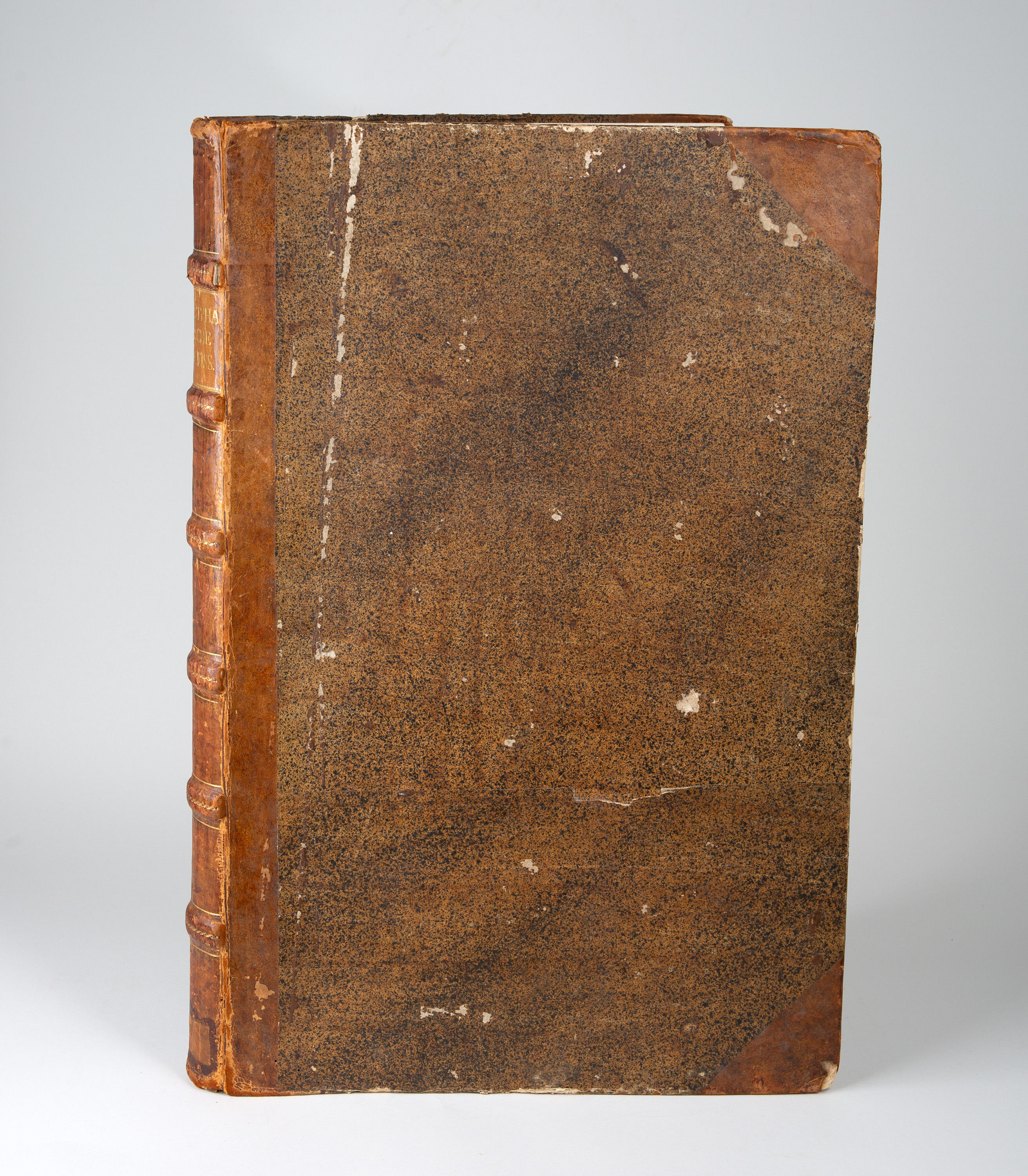
Atlas-Sammelband. -Westfälischer Kreis. 18. Jahrhundert.
Estimate
€ 3.000
Starting Price
€ 2.000
Hammer Price
€ 3.600
Lot:
536
Category:
Geography and work of views
Atlas-Sammelband. Westfälischer Kreis. 53 x 34 cm. Contains 53 copperplate maps, mostly double-sheet size (8 folded several times, 2 single-sheet); almost all coloured. Half-leather with back label.
(Slightly worn and battered. All cards stamped on the reverse; returned by Halle University Library from the Adelsbibliothek. A few cards are slightly yellowed and show age spots, some with tears and inscriptions on the reverse. The colouring on a few cards has been added at a later date.)
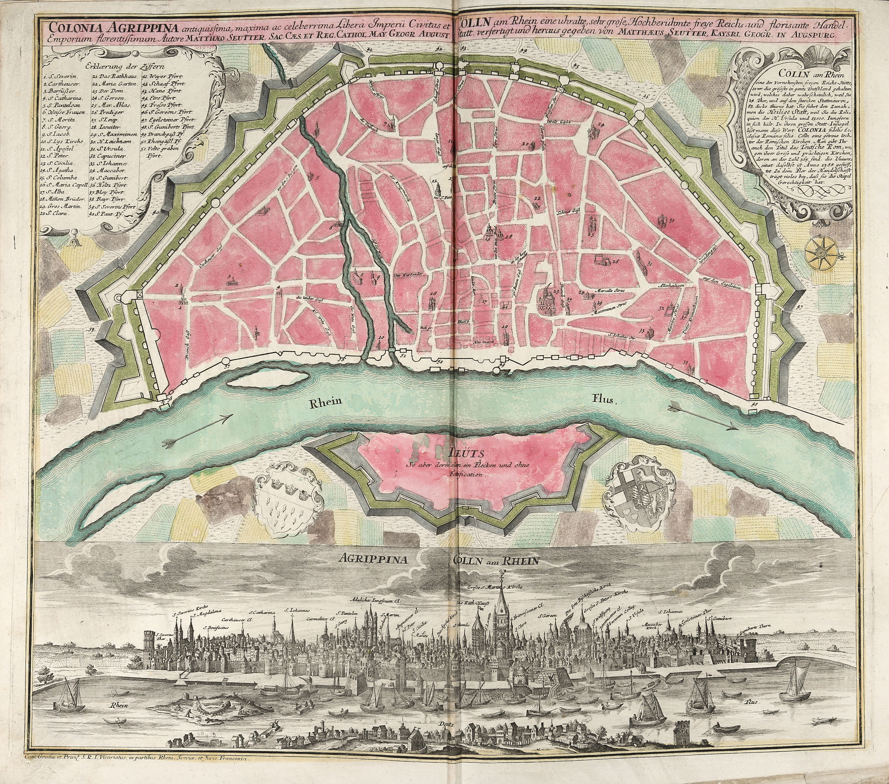
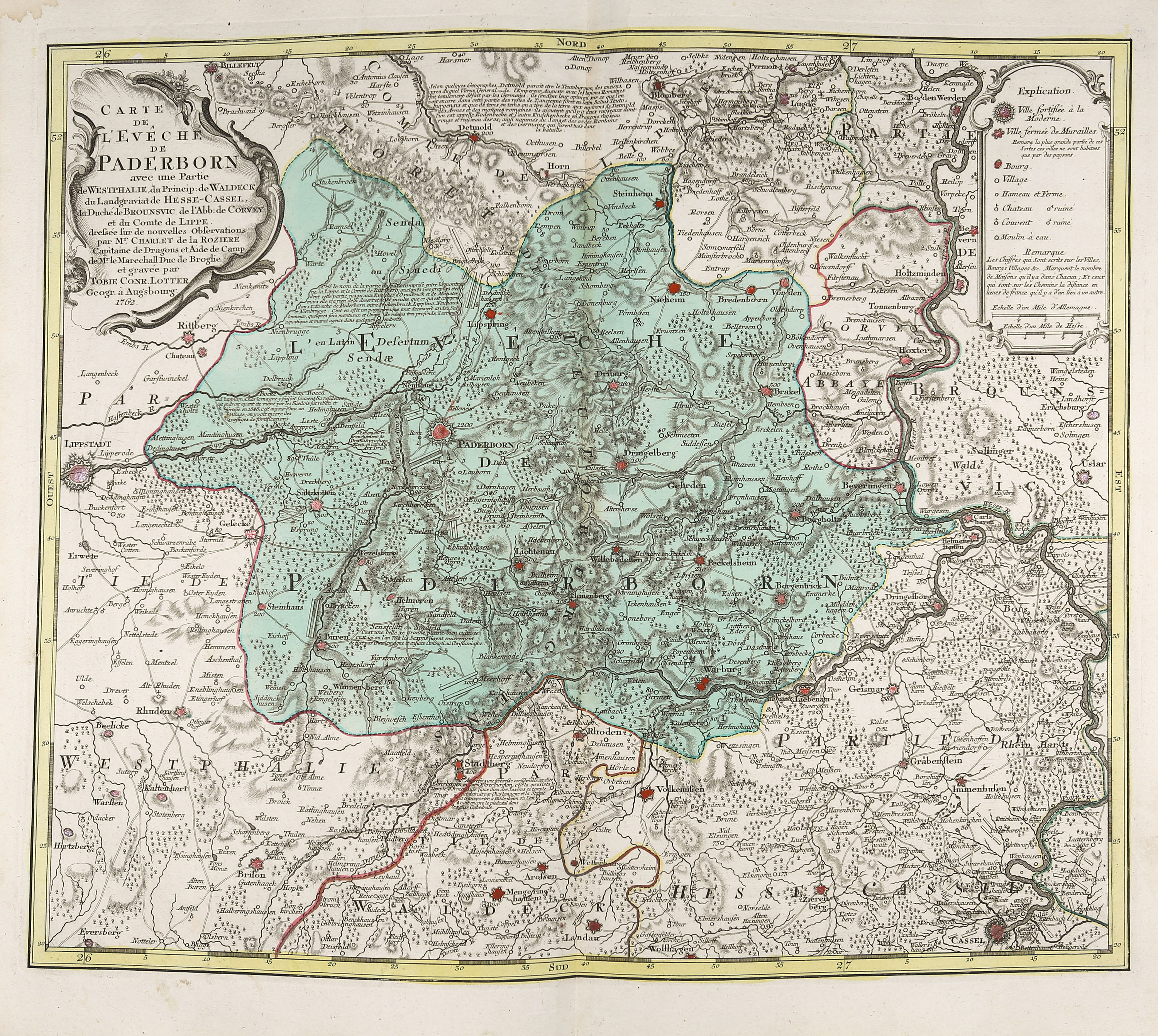
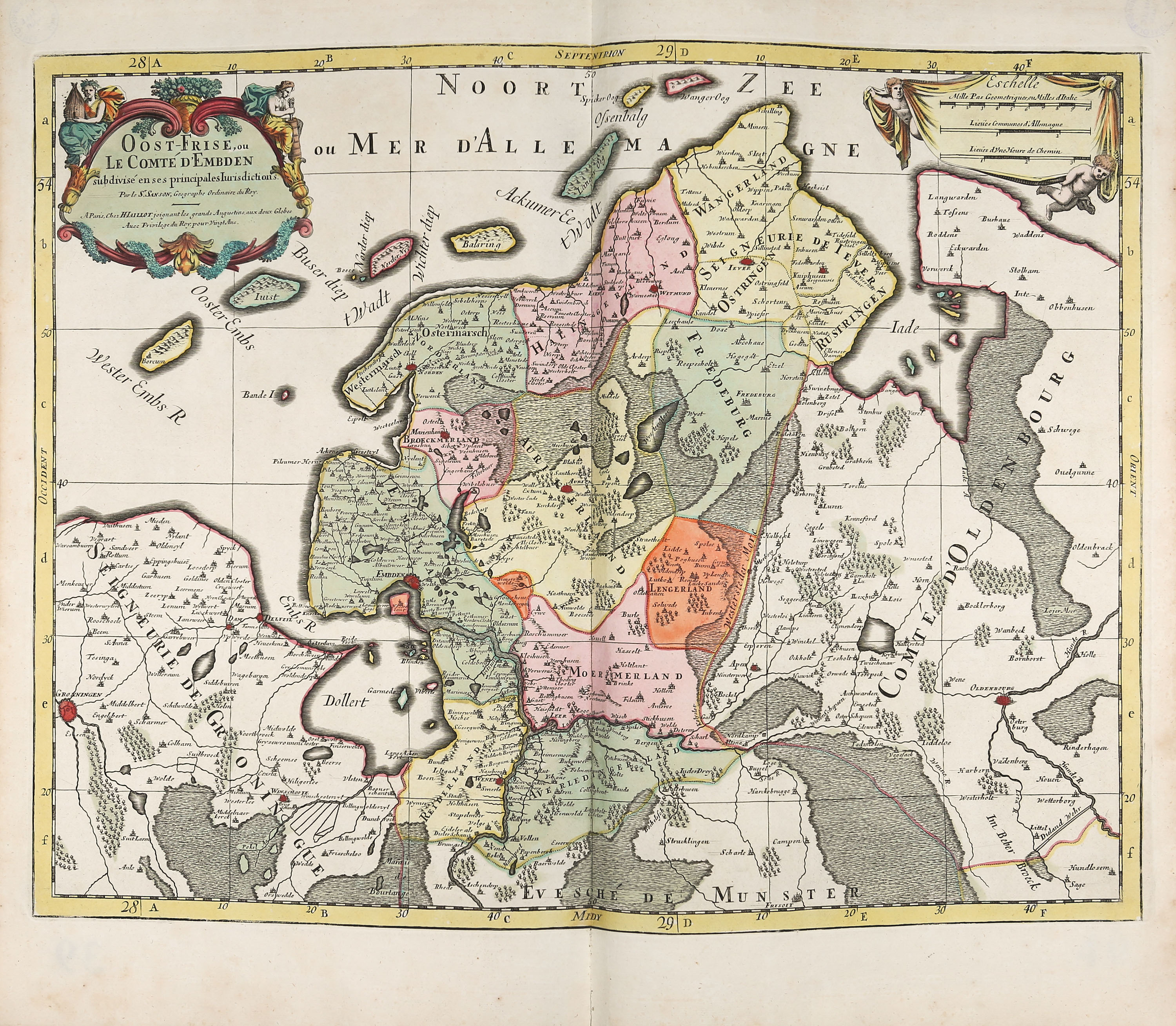
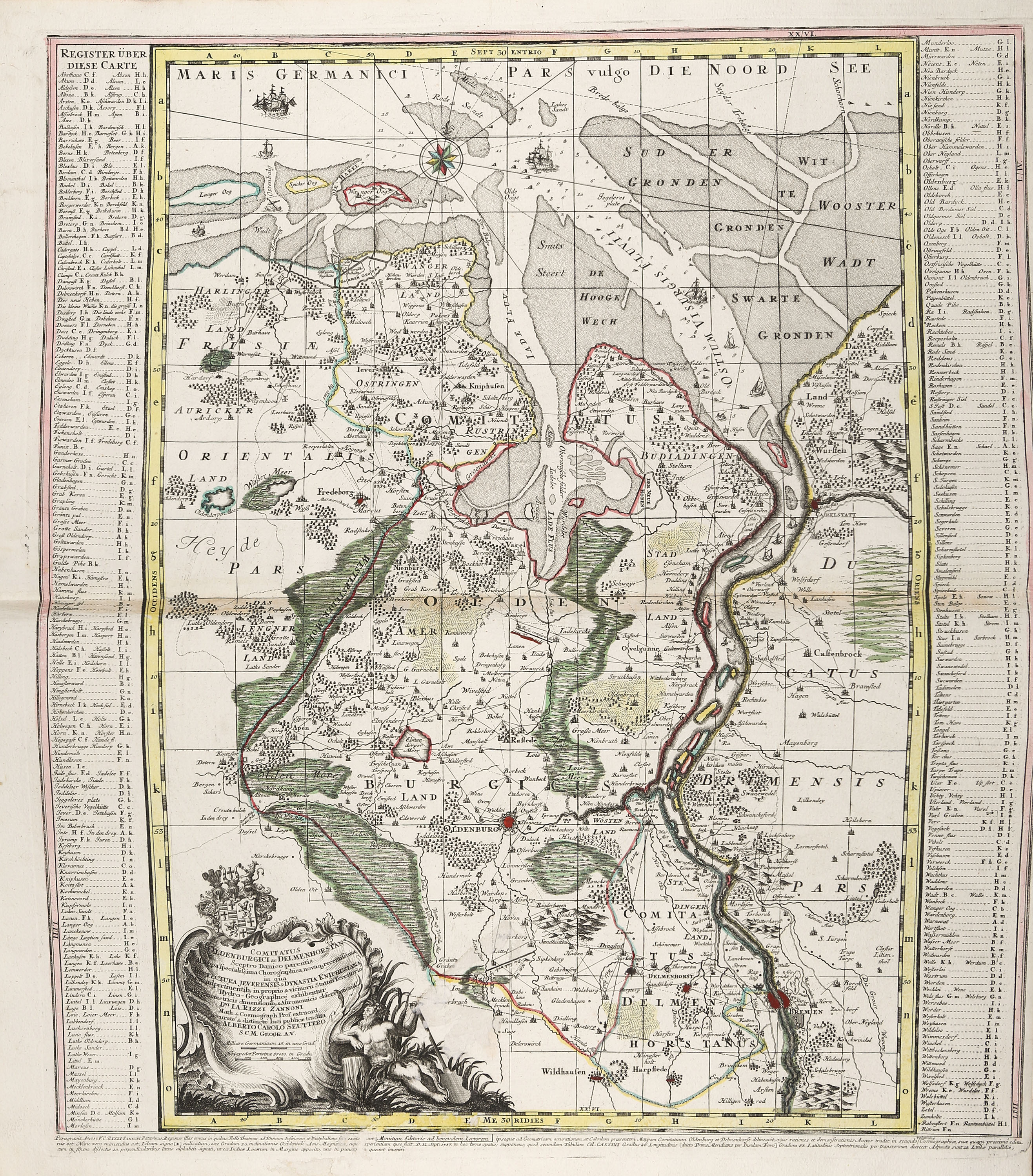
Maps from publishers including Homann, Sanson, Seutter, Schenk, Rizzi-Zannoni and others. Available: Overview maps of Westphalia, East Frisia, Jülich, Berg, Kleve, Moers, Geldern, Paderborn, Pyrmont, Delmenhorst, Münster, Osnabrück, Lippe, Liège, Limburg, Mark, Steinfurt and others. Includes a map of troop movements with mounted sections (Battle of Vellinghausen), and a double-page spread featuring a view and a plan of Cologne.
(Slightly worn and battered. All cards stamped on the reverse; returned by Halle University Library from the Adelsbibliothek. A few cards are slightly yellowed and show age spots, some with tears and inscriptions on the reverse. The colouring on a few cards has been added at a later date.)
Maps from publishers including Homann, Sanson, Seutter, Schenk, Rizzi-Zannoni and others. Available: Overview maps of Westphalia, East Frisia, Jülich, Berg, Kleve, Moers, Geldern, Paderborn, Pyrmont, Delmenhorst, Münster, Osnabrück, Lippe, Liège, Limburg, Mark, Steinfurt and others. Includes a map of troop movements with mounted sections (Battle of Vellinghausen), and a double-page spread featuring a view and a plan of Cologne.