Lot 515
J. D. Köhlers, Anleitung zu der Geographie. Nürnberg, 1730.
Estimate
€ 900
Starting Price
€ 600
Hammer Price
€ 600
Lot:
515
Category:
Geography and work of views
Author:
Johann David Köhler
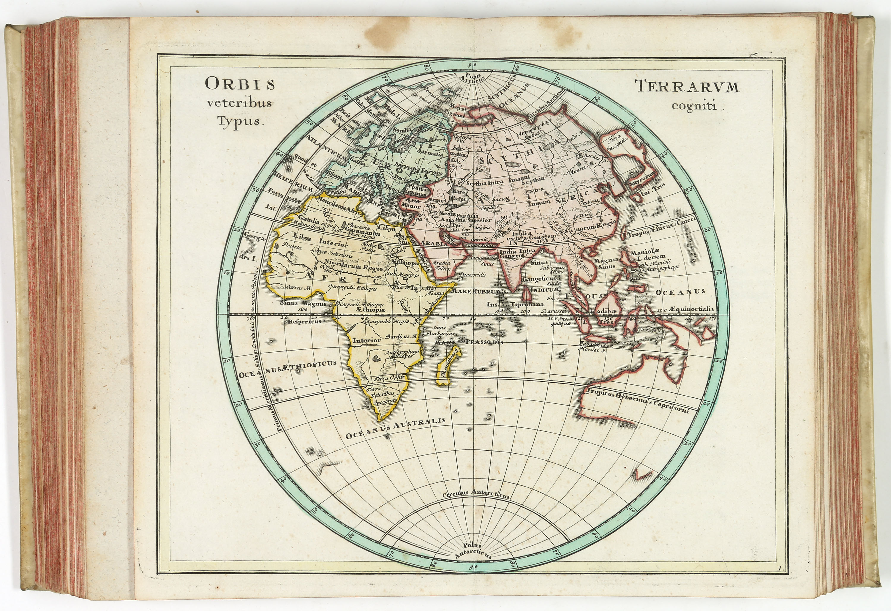
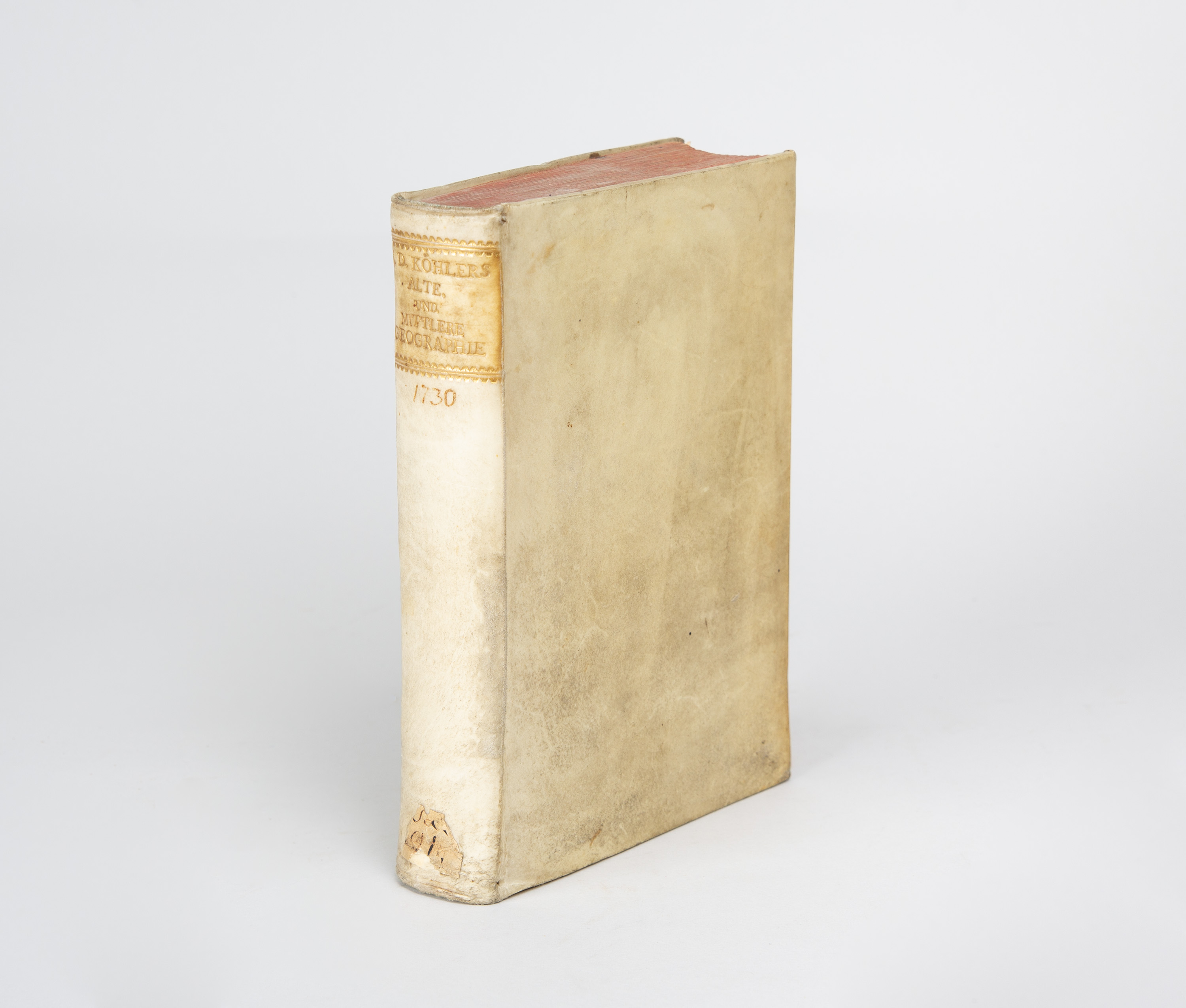
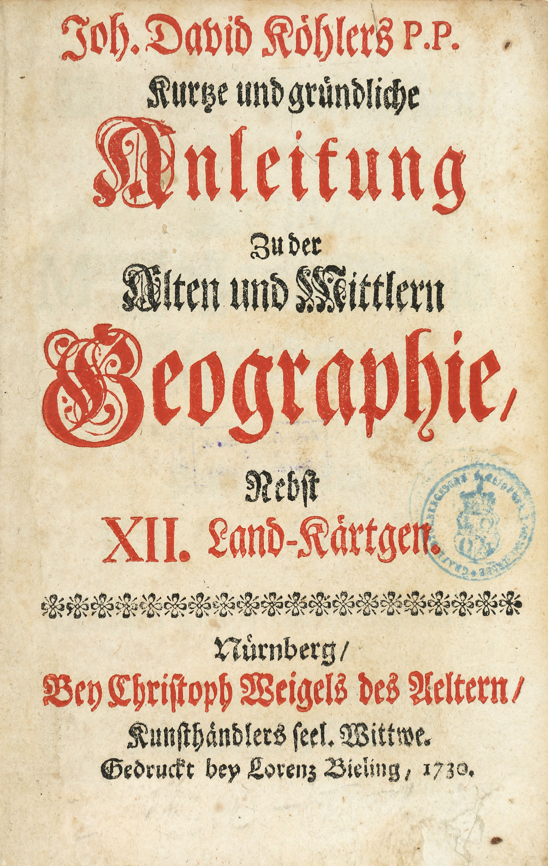
Köhler, Johann David: Kurze und gründliche Anleitung Zu der Alten und Mittlern Geographie, Nebst XII. Land-Kärtgen. Nuremberg: L. Bieling f. C. Weigels Witwe 1730-37. 17,6 x 11,6 cm. With a engraved frontispiece and 24 double-sheet-sized, colored copperplate maps. 11 leaves, 107 pp., 1 unnumbered page, 9 leaves + 122 pp., 11 leaves. Parchment with gilt spine title.
(Stained and slightly mottled. The front cover and title page are slightly trimmed at the top edge. The title page is stamped on the reverse and has a backed-in tear at the bottom edge. One page of the preface has a torn corner that has been repaired. The last page of the preface has a water stain on the outer margin. The title page of the second part and the world map have brown spots along the top edge. Overall, minor signs of age; some foxing and age spots in places.)
Bauer, Weigel, 59.1 und 64.1. - First Edition. - Köhler’s charming little atlas provides an overview of historical geography based on his ‘Anleitung zur verbesserten neueren Geographie’ (Guide to Improved Modern Geography) from 1724. It includes historical maps of Europe, Germania, Italia, Graecia, Asia, Palestine, Africa, Gallia, Hispania, Britannia, Flandria, and others. — Provenance: An engraved bookplate of Count Christian Ernst zu Stolberg on the frontispiece. The reverse side of the frontispiece and the title page bear the stamp of the library of the Prince of Stolberg-Wernigerode. Another, modern bookplate on the flyleaf.
(Stained and slightly mottled. The front cover and title page are slightly trimmed at the top edge. The title page is stamped on the reverse and has a backed-in tear at the bottom edge. One page of the preface has a torn corner that has been repaired. The last page of the preface has a water stain on the outer margin. The title page of the second part and the world map have brown spots along the top edge. Overall, minor signs of age; some foxing and age spots in places.)
Bauer, Weigel, 59.1 und 64.1. - First Edition. - Köhler’s charming little atlas provides an overview of historical geography based on his ‘Anleitung zur verbesserten neueren Geographie’ (Guide to Improved Modern Geography) from 1724. It includes historical maps of Europe, Germania, Italia, Graecia, Asia, Palestine, Africa, Gallia, Hispania, Britannia, Flandria, and others. — Provenance: An engraved bookplate of Count Christian Ernst zu Stolberg on the frontispiece. The reverse side of the frontispiece and the title page bear the stamp of the library of the Prince of Stolberg-Wernigerode. Another, modern bookplate on the flyleaf.