Lot 508
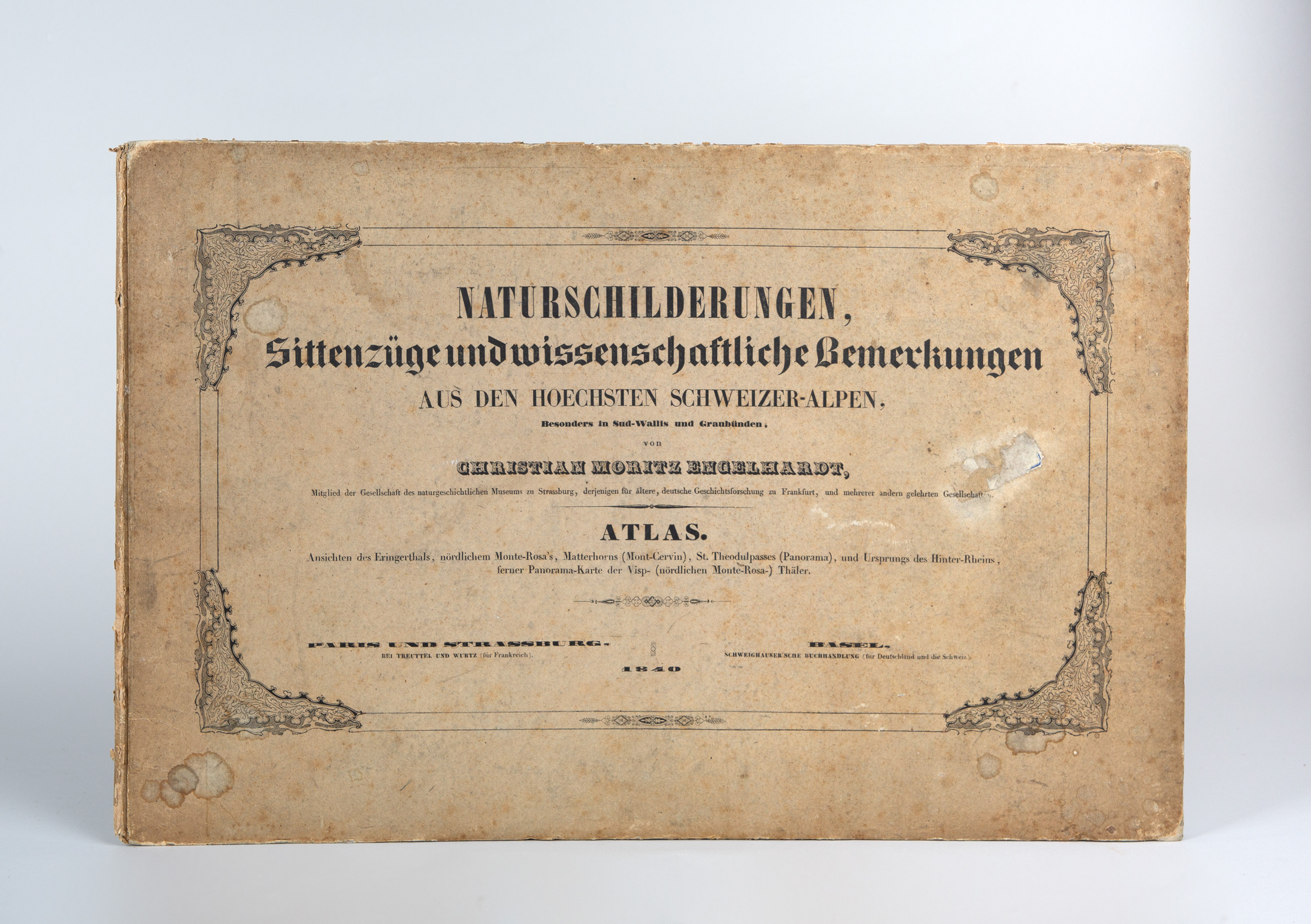
C. M. Engelhardt, Naturschilderungen ... aus den hoechsten Schweizer-Alpen. Atlas. Paris, Straßburg, Basel 1840.
Estimate
€ 200
Starting Price
€ 140
Hammer Price
€ 1.800
Lot:
508
Category:
Geography and work of views
Author:
Christian Moritz Engelhardt
Engelhardt, Christian Moritz: Naturschilderungen, Sittenzüge und wissenschaftliche Bemerkungen aus den hoechsten Schweizer-Alpen, besonders in Sud-Wallis und Graubünden. Nur Atlas. Paris u. Straßburg: Treuttel und Würtz; Basel: Schweighauer 1840. 28,5 x 44 cm. Includes 5 color lithographic views and 1 color lithographic fold-out map. Original paperback.
(Worn, bumped, and stained. Front cover with remnants of a paper stamp. The view of the Matterhorn at the bottom edge has a small water stain. The pages have slight foxing and fingerprints on the white margins.)
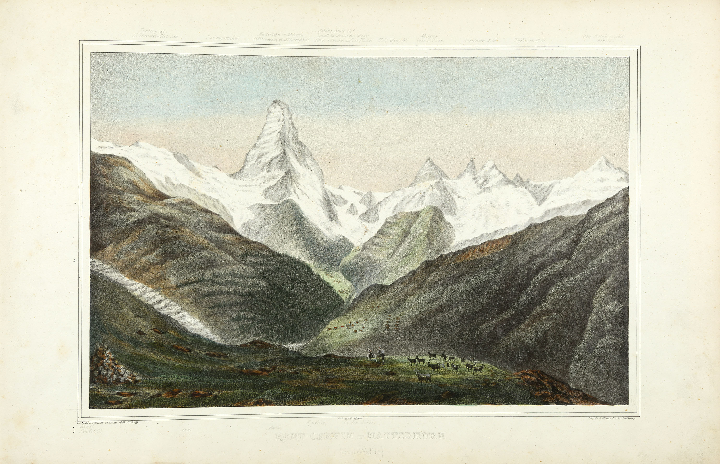
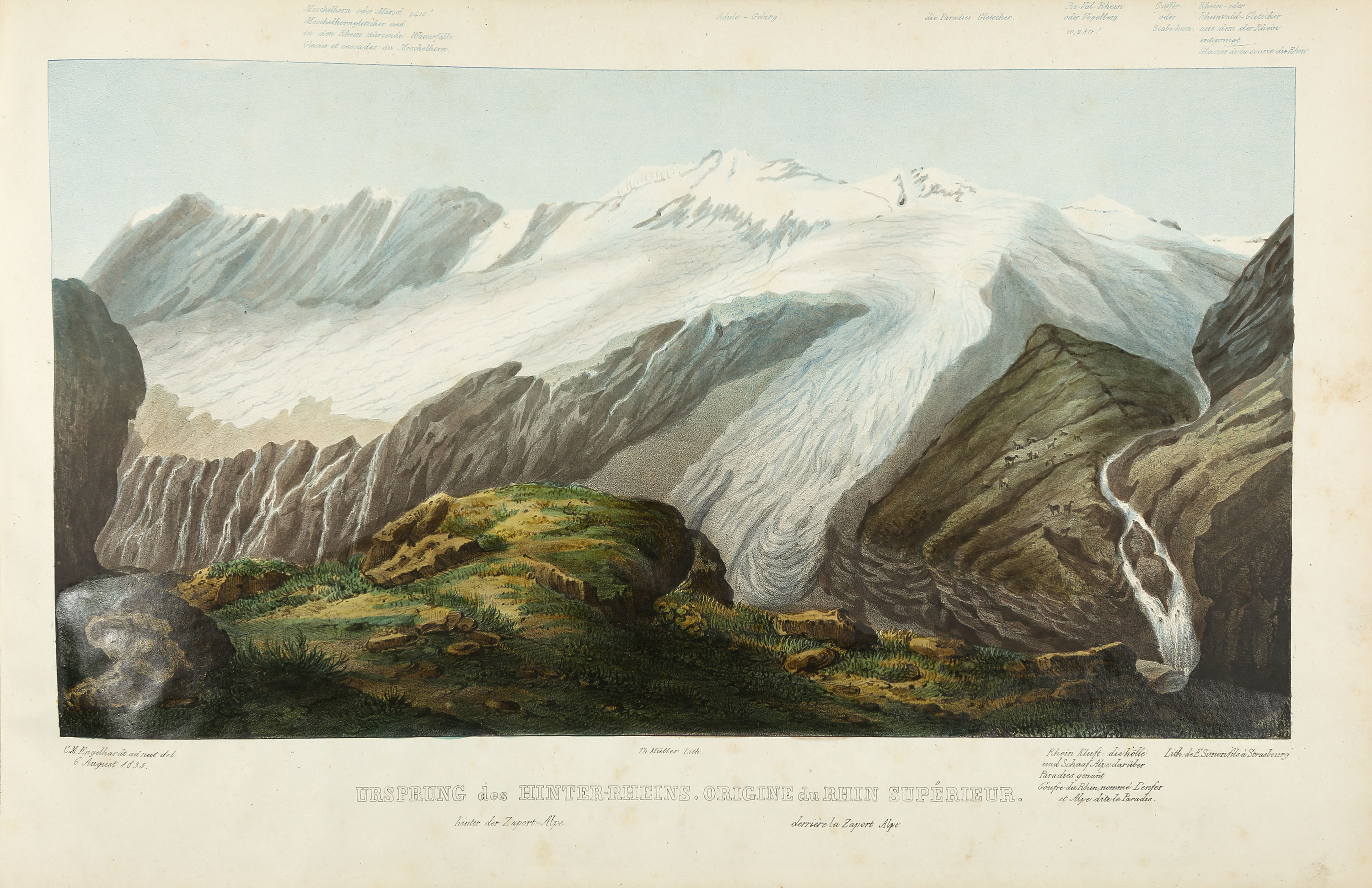
Engelmann, S. 919. - A rare, separately published expansion booklet in landscape format. - Contains the following views: Matterhorn (Mont-Cervin), Eringerthal (Val d’Hérens), Monte-Rosa und Görner-Gletscher, St. Theodul Pass (Passage de St. Theodule), Ursprung des Hinter-Rheins (Origine du Rhin Supérieur). The Panoramic Map shows the Vispertäler in Süd-Wallis (Carte-Panorama des Vallées de la Visp ou Viège ou Valais méridonal).
(Worn, bumped, and stained. Front cover with remnants of a paper stamp. The view of the Matterhorn at the bottom edge has a small water stain. The pages have slight foxing and fingerprints on the white margins.)
Engelmann, S. 919. - A rare, separately published expansion booklet in landscape format. - Contains the following views: Matterhorn (Mont-Cervin), Eringerthal (Val d’Hérens), Monte-Rosa und Görner-Gletscher, St. Theodul Pass (Passage de St. Theodule), Ursprung des Hinter-Rheins (Origine du Rhin Supérieur). The Panoramic Map shows the Vispertäler in Süd-Wallis (Carte-Panorama des Vallées de la Visp ou Viège ou Valais méridonal).