Lot 401
South America. Set of 3 copperplate maps.
Estimate
€ 500
Starting Price
€ 330
Hammer Price
€ 420
Lot:
401
Category:
Geography and work of views
South America. – Set of 3 copperplate maps, 2 of which are (partially) coloured.
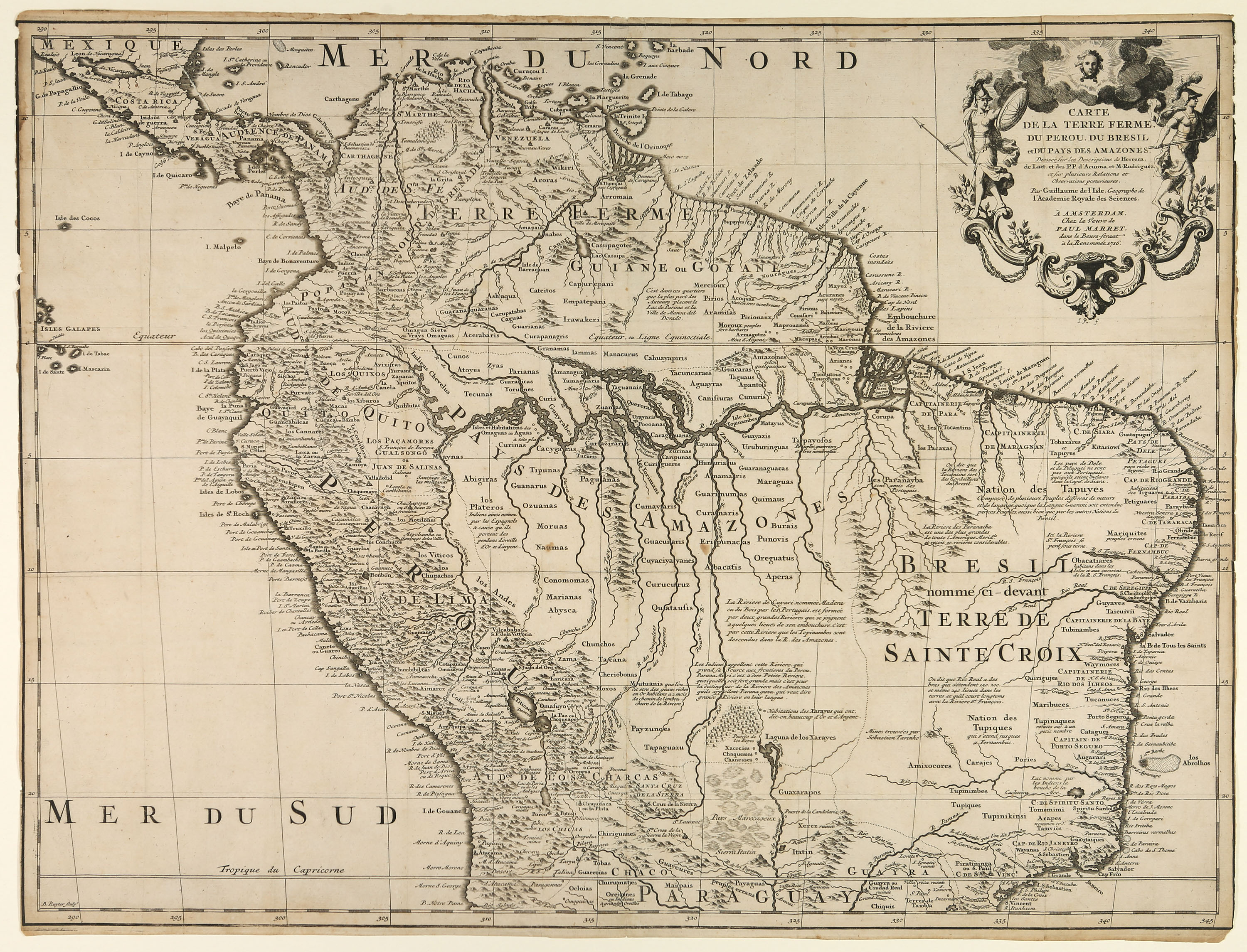
1) Carte de la terre ferme, du Perou, du Bresil et du pays des Amazones. Amsterdam: Paul Marret 1716. Karte von B. Ruyter nach Guillame de l'Isle. 49,0 x 64,5 cm.
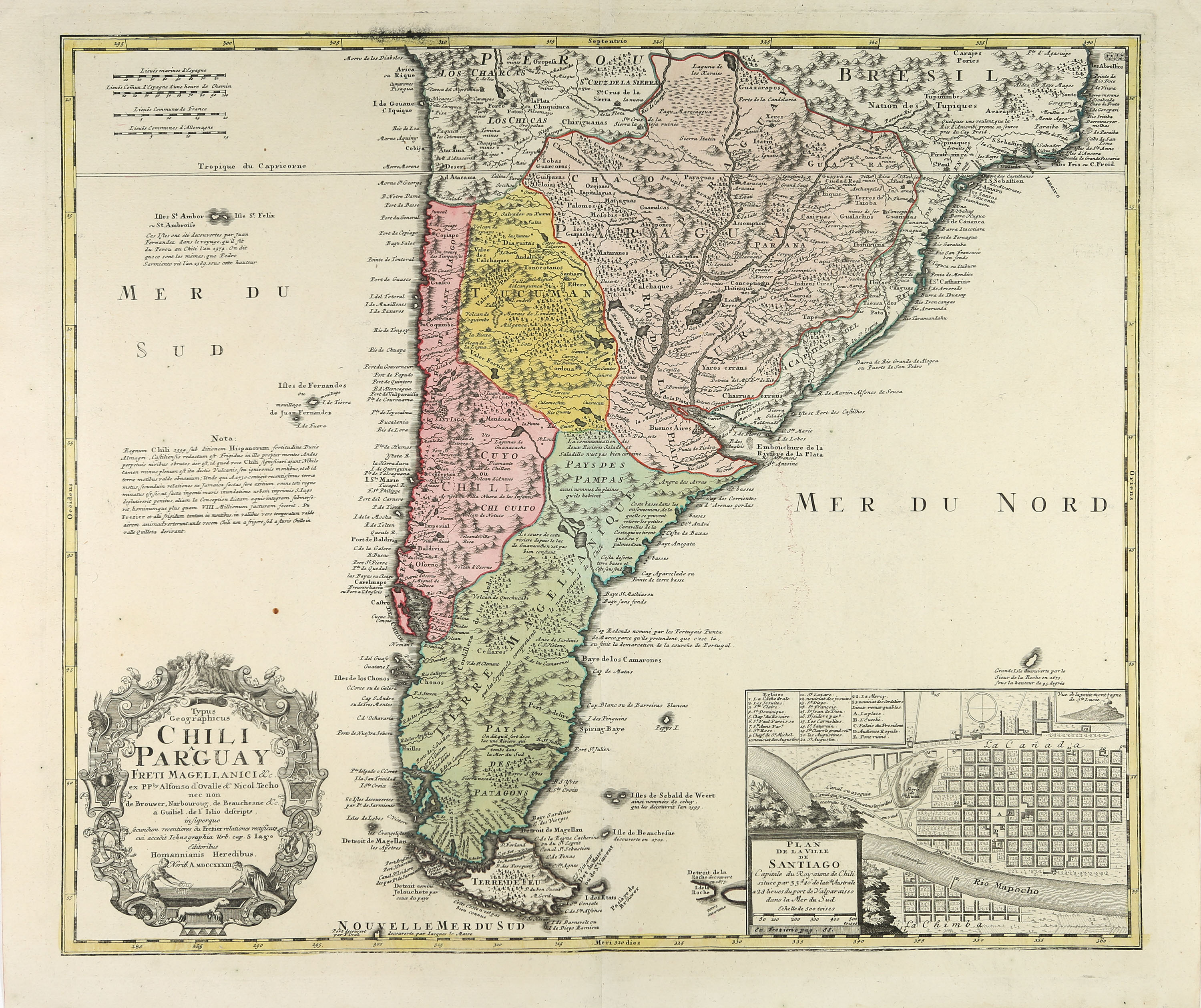
2) Typus Geographicus Chili a Paraguay Freti Magellanici & c. Nürnberg: Homanns Erben 1733. Karte nach Guillaume de l'Isle, mit einem Plan von Santiago de Chile. 50,5 x 58,2 cm.
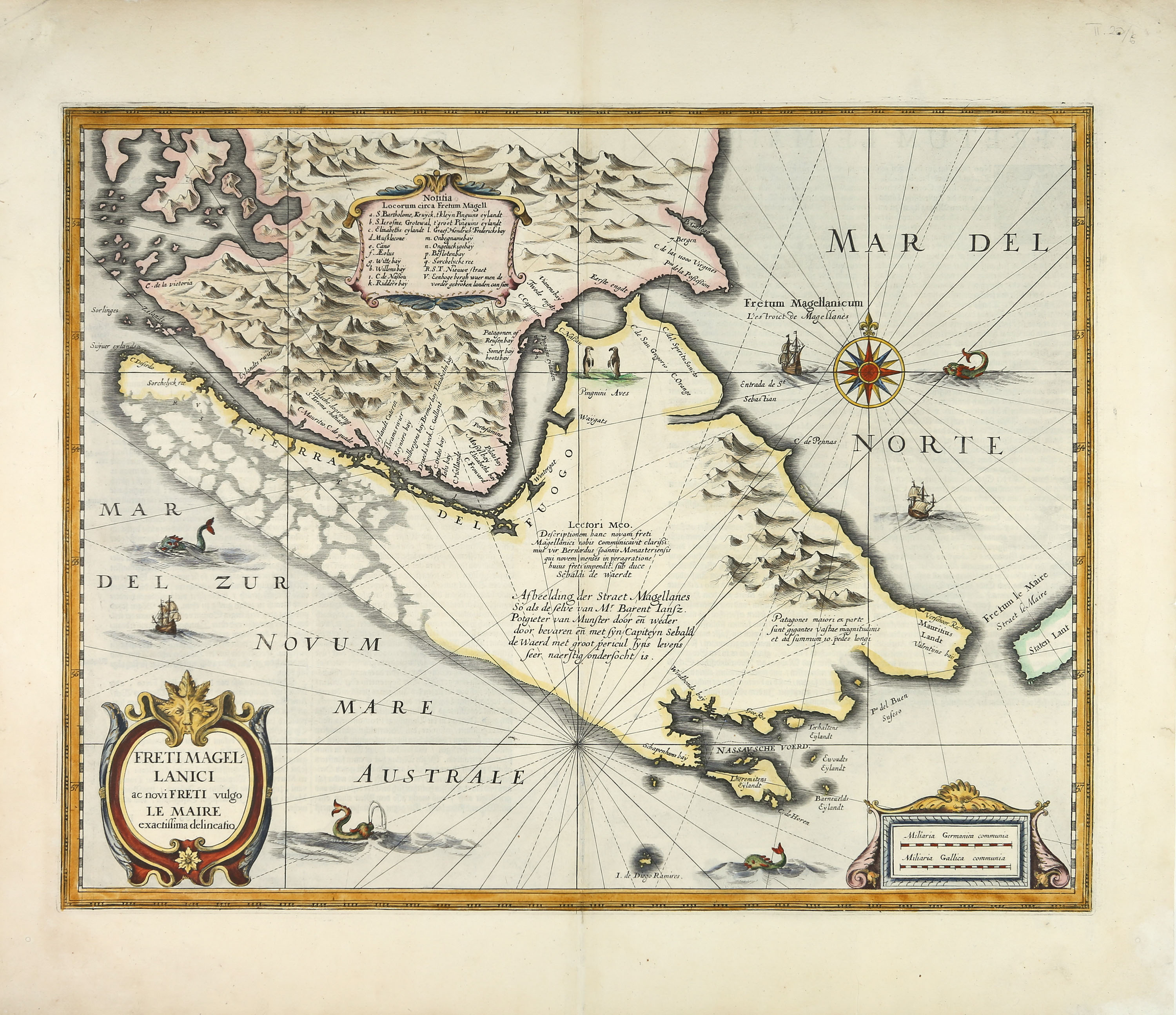
3) Freti Magellanici ac novi Freti vulgo Le Maire exactissima delineatio. Karte der Magellanstraße aus dem Atlas Novus, deutsche Ausgabe bei Johannes Janssonius 1638-1642. 38,5 x 49,5 cm.
(Shows signs of age and wear. The map showing the Strait of Magellan has been expertly restored. The map showing the north of South America is slightly discoloured and has been trimmed to the border line, with some damage to the edges in places.)
1) Carte de la terre ferme, du Perou, du Bresil et du pays des Amazones. Amsterdam: Paul Marret 1716. Karte von B. Ruyter nach Guillame de l'Isle. 49,0 x 64,5 cm.
2) Typus Geographicus Chili a Paraguay Freti Magellanici & c. Nürnberg: Homanns Erben 1733. Karte nach Guillaume de l'Isle, mit einem Plan von Santiago de Chile. 50,5 x 58,2 cm.
3) Freti Magellanici ac novi Freti vulgo Le Maire exactissima delineatio. Karte der Magellanstraße aus dem Atlas Novus, deutsche Ausgabe bei Johannes Janssonius 1638-1642. 38,5 x 49,5 cm.
(Shows signs of age and wear. The map showing the Strait of Magellan has been expertly restored. The map showing the north of South America is slightly discoloured and has been trimmed to the border line, with some damage to the edges in places.)