Lot 217
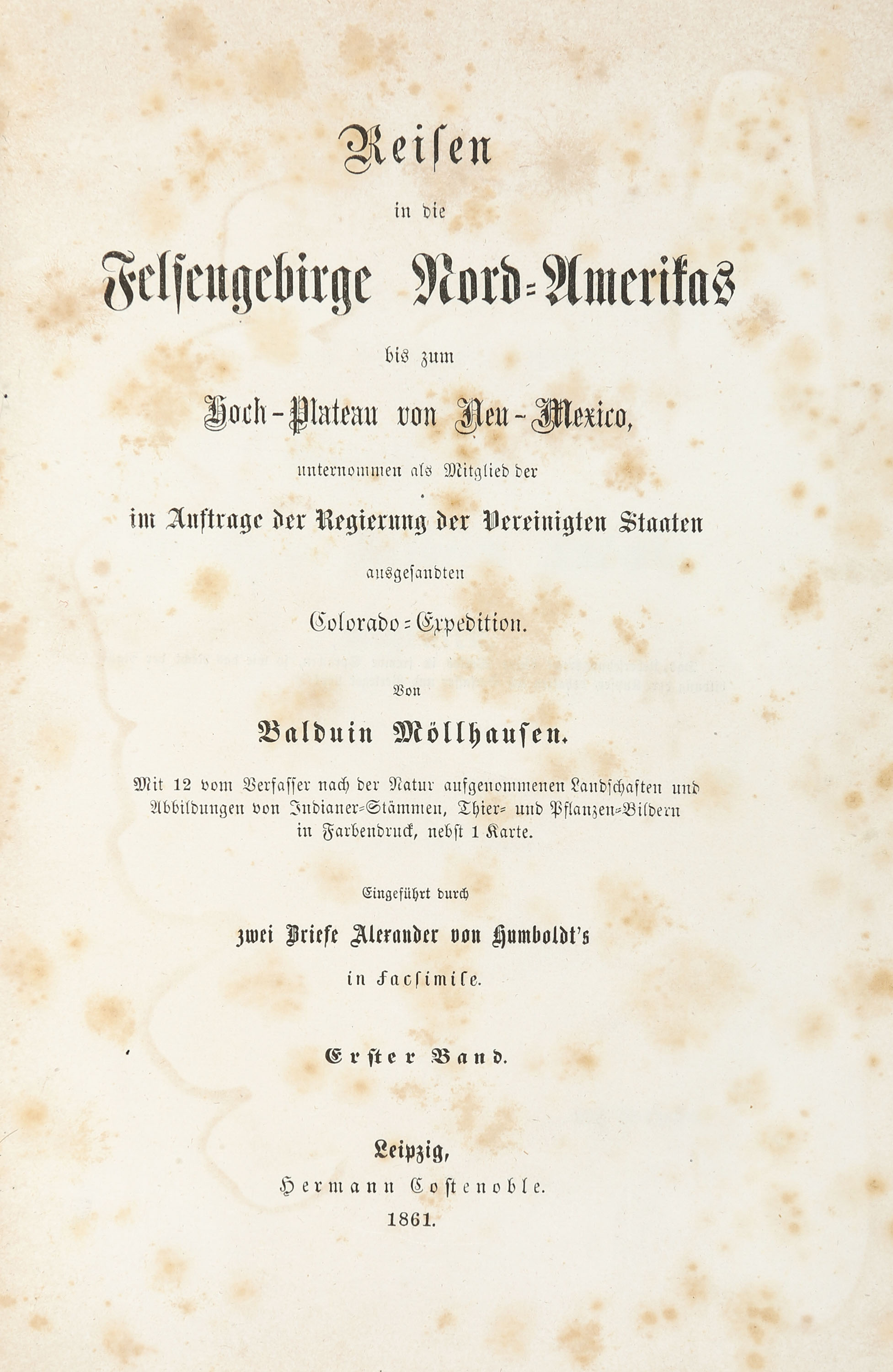
B. Möllhausen, Reisen in die Felsengebirge Nord-Amerikas ... 2 Vol. Leipzig 1861.
Estimate
€ 200
Starting Price
€ 140
Lot:
217
Category:
Geography and work of views
Author:
Balduin Möllhausen
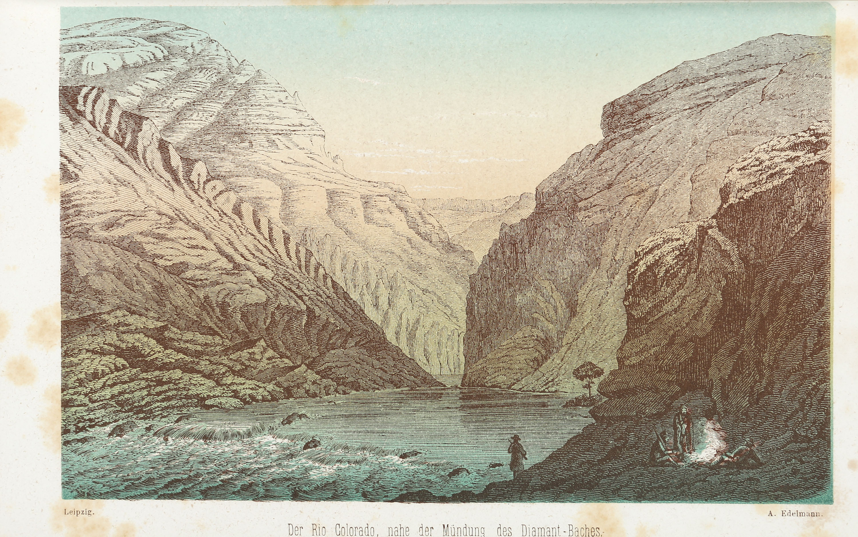
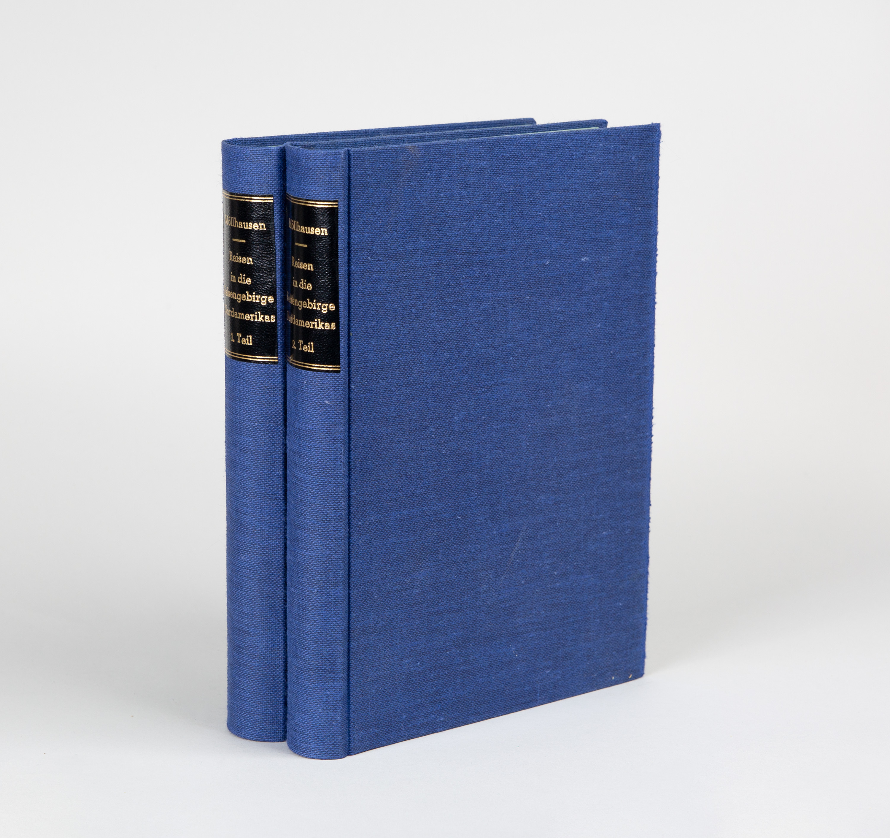
Möllhausen, Balduin: Reisen in die Felsengebirge Nord-Amerikas bis zum Hoch-Plateau von Neu-Mexico, unternommen als Mitglied der Regierung der Vereinigten Staaten ausgesandten Colorado-Expedition. 2 Vol. Leipzig: Costenoble 1861(Bd. I) u. Purfürst o.J. (Vol. II). 22 x 15,4 cm. With 9 (out of 10) two-colour tinted plates and 2 coloured woodcut plates as frontispieces, 1 folded woodcut map and 1 map in the text, plus 1 facsimile double-page letter. pp. (III)–XVI, 455 pp., 1 unnumbered page; pp. (III)–(IX), 1 unnumbered page, 406 pp. Modern blue linen with a black label on the back
(The first 100 pages are more heavily discoloured. Brown spots throughout.)
Sabin 49913; Howes 712; Henze II, 691. – Published simultaneously by Costenoble and Purfürst. The first volume was published by Costenoble with the year of publication on the title page; the second volume was published here by Purfürst without a year. The discolouration of leaves 1–6 in volume 1 suggests a mixed binding. Möllhausen reports on the Ives Expedition of 1857–58, which was intended to assess the navigability of the Colorado River for steamships, particularly against the backdrop of the impending war with the Mormons from Utah. The expedition ventured into previously unexplored territories, and Möllhausen, together with the other German expedition member F. von Egloffstein, became the first European to see and sketch the Grand Canyon. – The official report, ‘Report upon the Colorado River’, ‘was substantially supplemented, particularly in ethnographic terms, by Möllhausen’s two-volume travel account’ (Henze). - The map shows the migration of peoples in the Colorado region as well as the expedition route. The missing plate shows the ‘Ruins of Pecos’ in Volume II.
(The first 100 pages are more heavily discoloured. Brown spots throughout.)
Sabin 49913; Howes 712; Henze II, 691. – Published simultaneously by Costenoble and Purfürst. The first volume was published by Costenoble with the year of publication on the title page; the second volume was published here by Purfürst without a year. The discolouration of leaves 1–6 in volume 1 suggests a mixed binding. Möllhausen reports on the Ives Expedition of 1857–58, which was intended to assess the navigability of the Colorado River for steamships, particularly against the backdrop of the impending war with the Mormons from Utah. The expedition ventured into previously unexplored territories, and Möllhausen, together with the other German expedition member F. von Egloffstein, became the first European to see and sketch the Grand Canyon. – The official report, ‘Report upon the Colorado River’, ‘was substantially supplemented, particularly in ethnographic terms, by Möllhausen’s two-volume travel account’ (Henze). - The map shows the migration of peoples in the Colorado region as well as the expedition route. The missing plate shows the ‘Ruins of Pecos’ in Volume II.