Lot 68
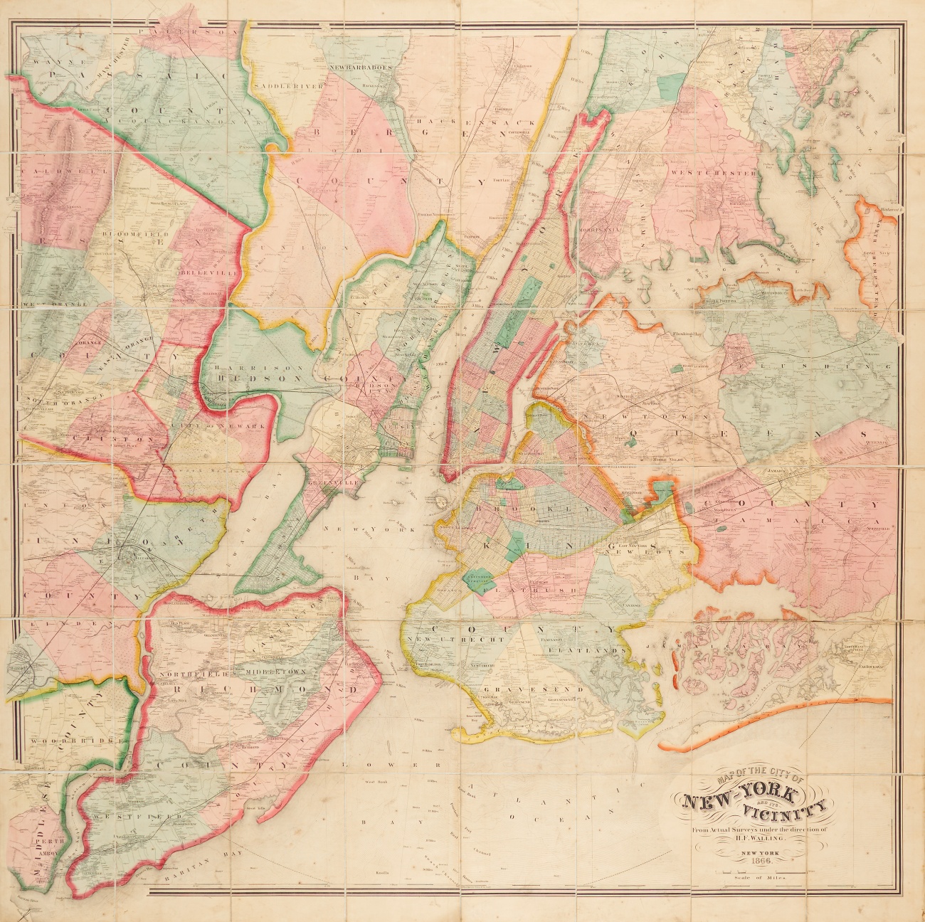
USA. - New York. Map of the city of New York and its vicinity ... F. Walling. 1866. Auf Leinen aufgezogen.
Estimate
€ 1.000
Starting Price
€ 650
Lot:
68
Category:
Topographie Graphik Ausland
New York City. - Map of the city of New York and its vicinity. From actual surveys under the direction of Henry Francis Walling. 1866. 154,5 x 157 cm. In Farben gedruckte Lithographie mit Handkolorit. 48 Segmente auf Leinen aufgezogen.
Alters- und Gebrauchsspuren, teils kl. Papierdefekte.
Umfasst das Gebiet von Manhattan, Brooklyn, Staten Island und New Jersey. Räumliche Begrenzung im Nordwesten durch Fairfield, im Nordosten New Rochelle, im Südosten Far Rockaway (Queens) und im Südwesten Tottenville (Staten Island).
Alters- und Gebrauchsspuren, teils kl. Papierdefekte.
Umfasst das Gebiet von Manhattan, Brooklyn, Staten Island und New Jersey. Räumliche Begrenzung im Nordwesten durch Fairfield, im Nordosten New Rochelle, im Südosten Far Rockaway (Queens) und im Südwesten Tottenville (Staten Island).